Follow the source.
Operator, publisher, dates and precision tell different parts of the story. Source-backed details stay connected to their evidence.
How evidence worksA new perspective on public space
Explore documented surveillance systems. Understand who operates them. Follow the sources behind the record.
An iPhone app
in private beta.

A plate reader, a traffic camera, a public-safety network. Understanding the difference starts with what the source actually documents.
Explore source-linked records for documented plate-reading systems. A record does not expose plates, people, or searchable detections.
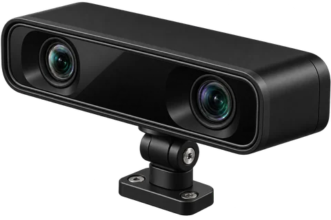
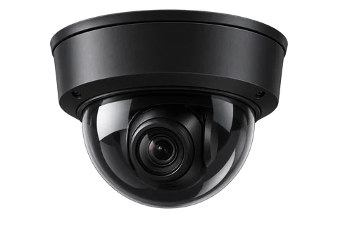
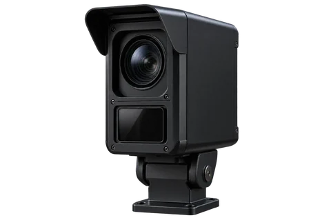
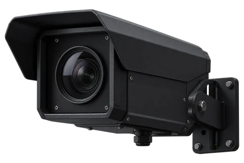
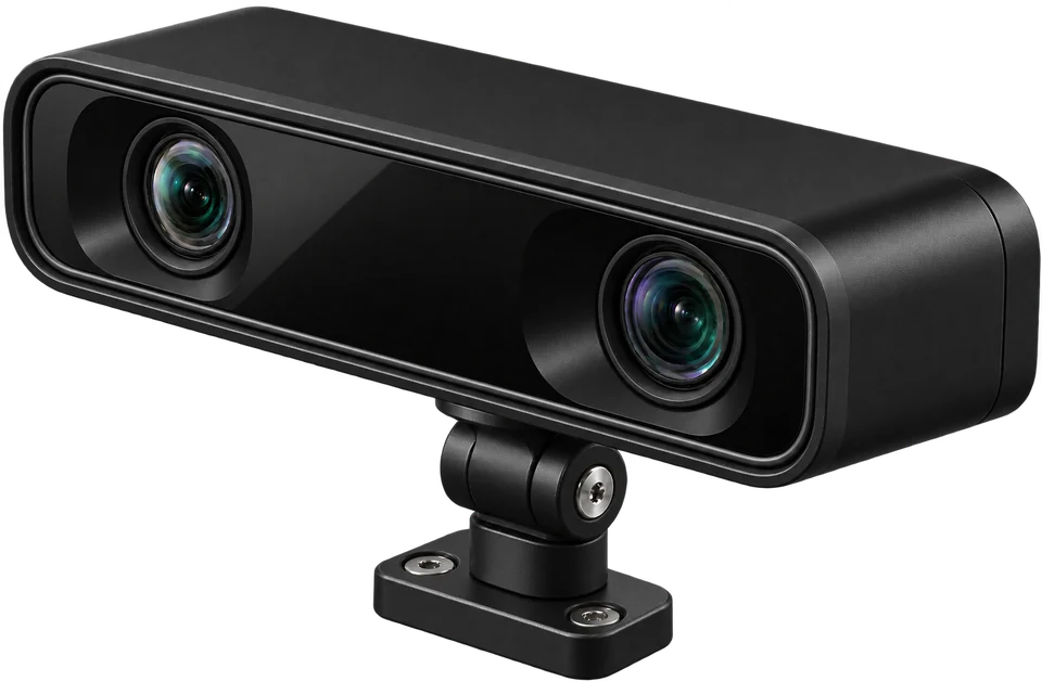
Illustrative hardware. Appearance does not establish capability, location, operator, or live status.
The picture extends beyond a camera.
Nova Vista is built to represent intersections, gantries, corridors, facilities and documented programs, with the level of precision each source supports.
Explore the method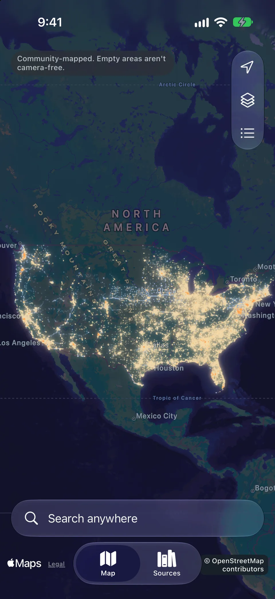
Coverage, today
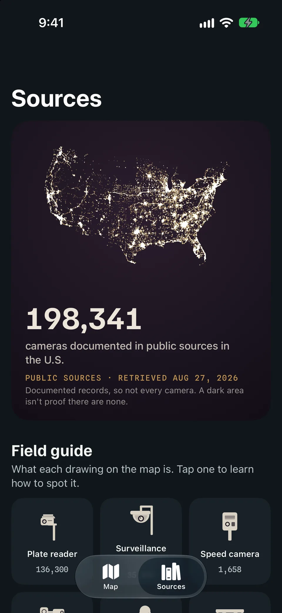
Nova Vista counts from 74 public source publications: city and county open data, state transportation departments, toll authorities, council documents and OpenStreetMap.
A record is not always one device, some locations are approximate sites like toll gantries, and a dark area isn’t proof there are none.
The app · Private beta
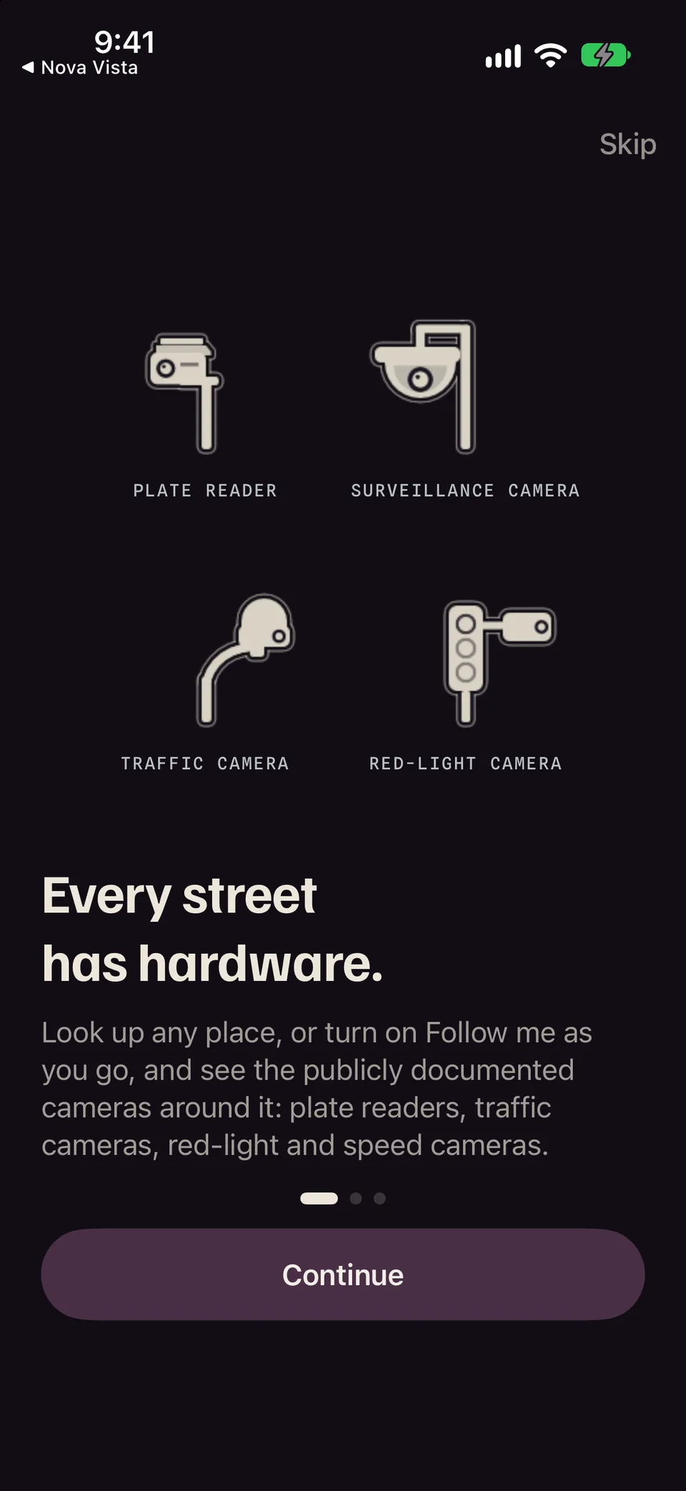
Look around your neighborhood or somewhere entirely new. See what’s documented around it, then go deeper into the record.
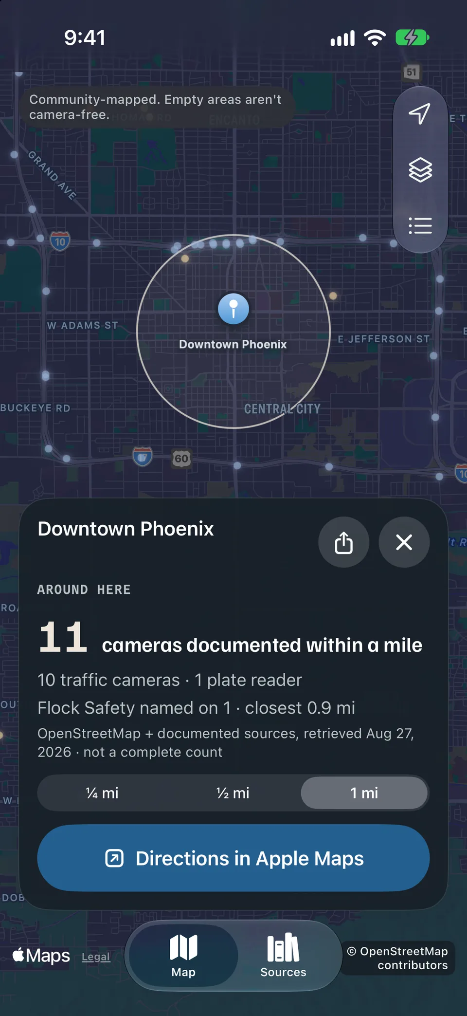
Search a place or tap Near me. See how many cameras are documented within a quarter mile, half a mile or a mile, and what kind they are.
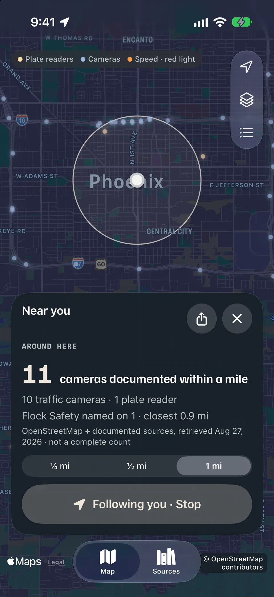
Turn on Follow me and the ring stays centered on you, on foot or as a passenger. It keeps counting until you tap Stop.
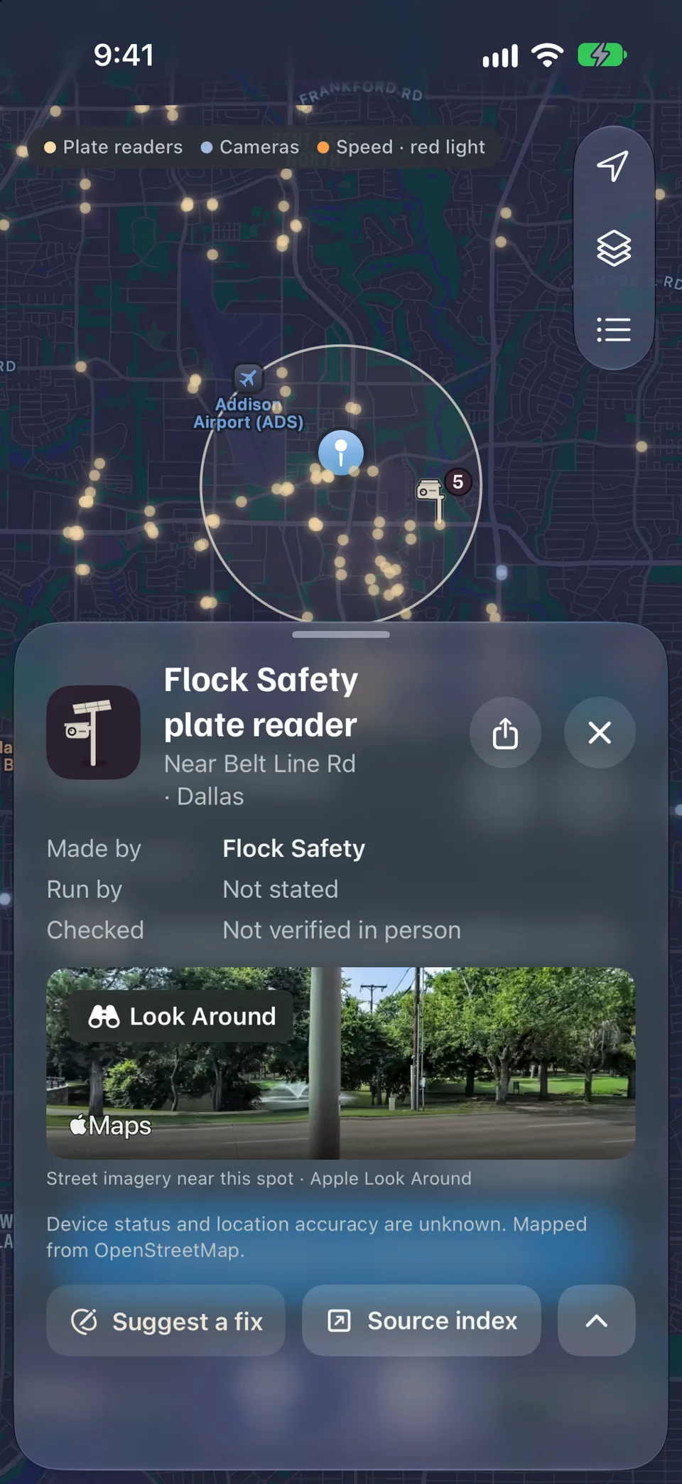
Each camera shows its maker, operator and source as documented. Anything the source doesn’t say reads Not stated.
About the sourcesReal screens from the app in development. Counts come from public records and are not a complete count.
On your Lock Screen
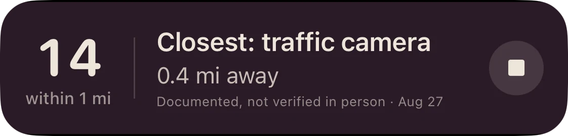
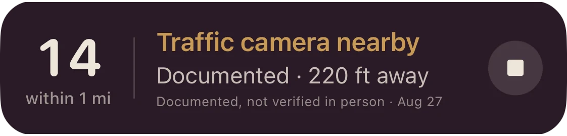
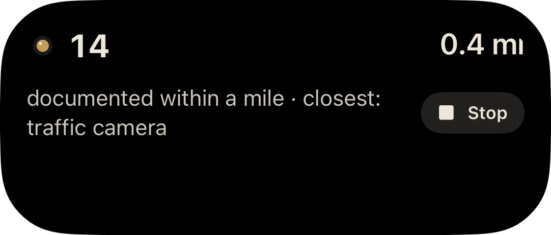
Follow me runs as a Live Activity on the Lock Screen and in the Dynamic Island. A documented camera within about 500 feet shows in gold. Stop is one tap away, without opening the app.
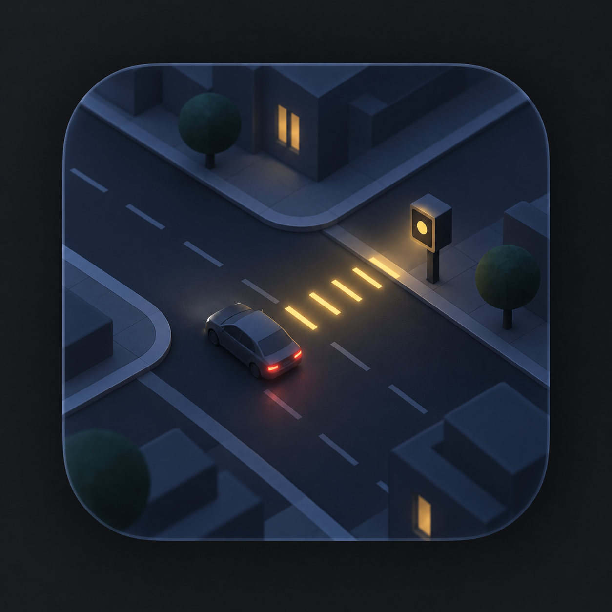
Distinct shapes and category colors make different systems easier to understand.
Scenes are illustrative. Color identifies category, not live status or evidence quality.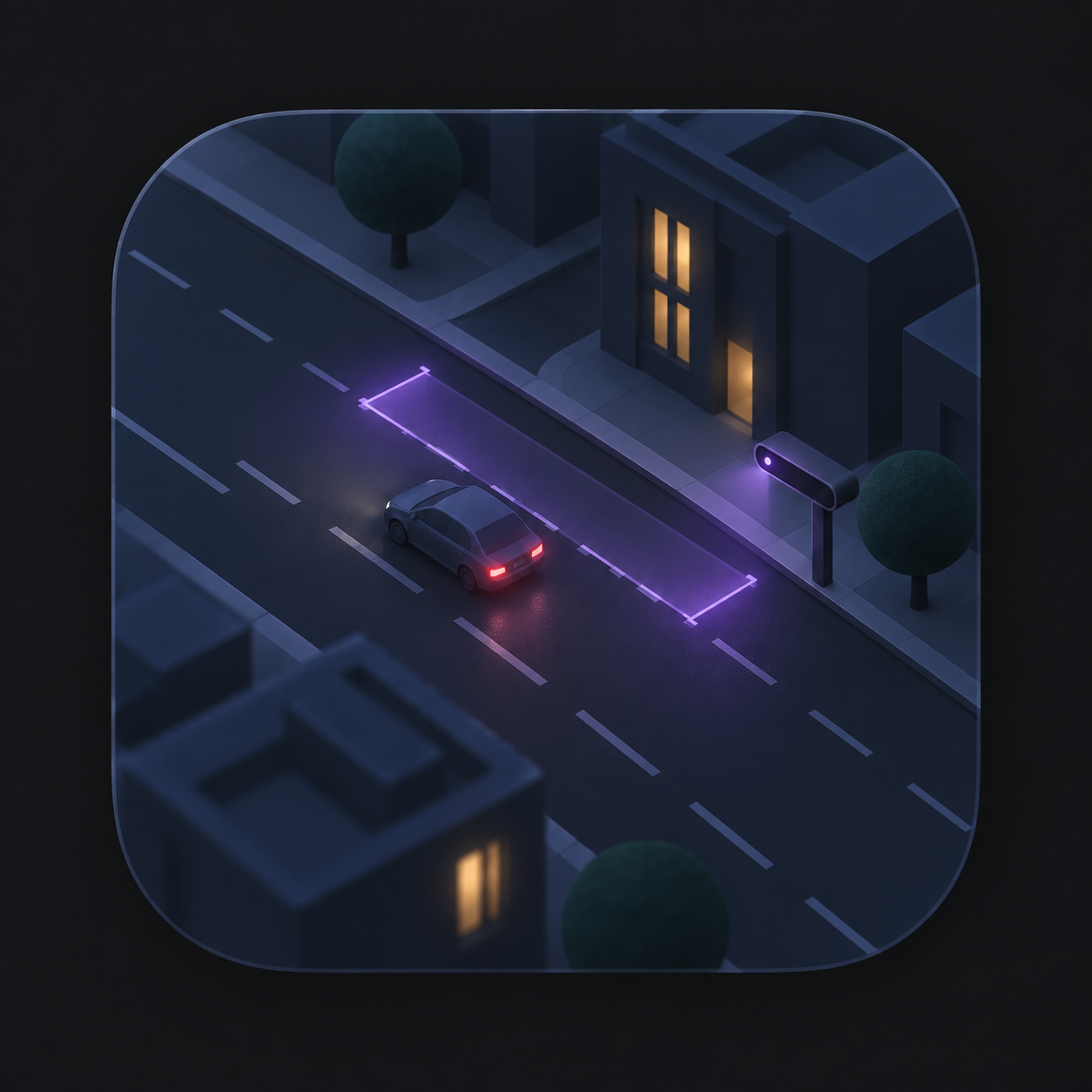

Nova Vista shows what’s documented. It never chooses, ranks or reroutes your trip.
Pick a place and tap Directions. Your route is planned by Apple Maps, exactly as it would be without Nova Vista.
Public accountability starts with understanding what is documented, where it comes from, and what it cannot tell us.
Operator, publisher, dates and precision tell different parts of the story. Source-backed details stay connected to their evidence.
How evidence worksIncomplete, stale or unavailable results stay explicit. A missing record never means an area has no surveillance.
Understand coverageNear me and Follow me count on your phone. Your location is never saved or sent to Nova Vista, and Follow me stops the moment you tap Stop.
Read the privacy approachApple’s location, search and Maps services handle your location and searches under Apple’s own privacy terms.
Now in private beta
Nova Vista Maps is in beta on iPhone through TestFlight, with a limited number of spots. There’s no App Store download yet.
Join the beta on TestFlight Beta · iPhone · Limited spotsBack to the beginning